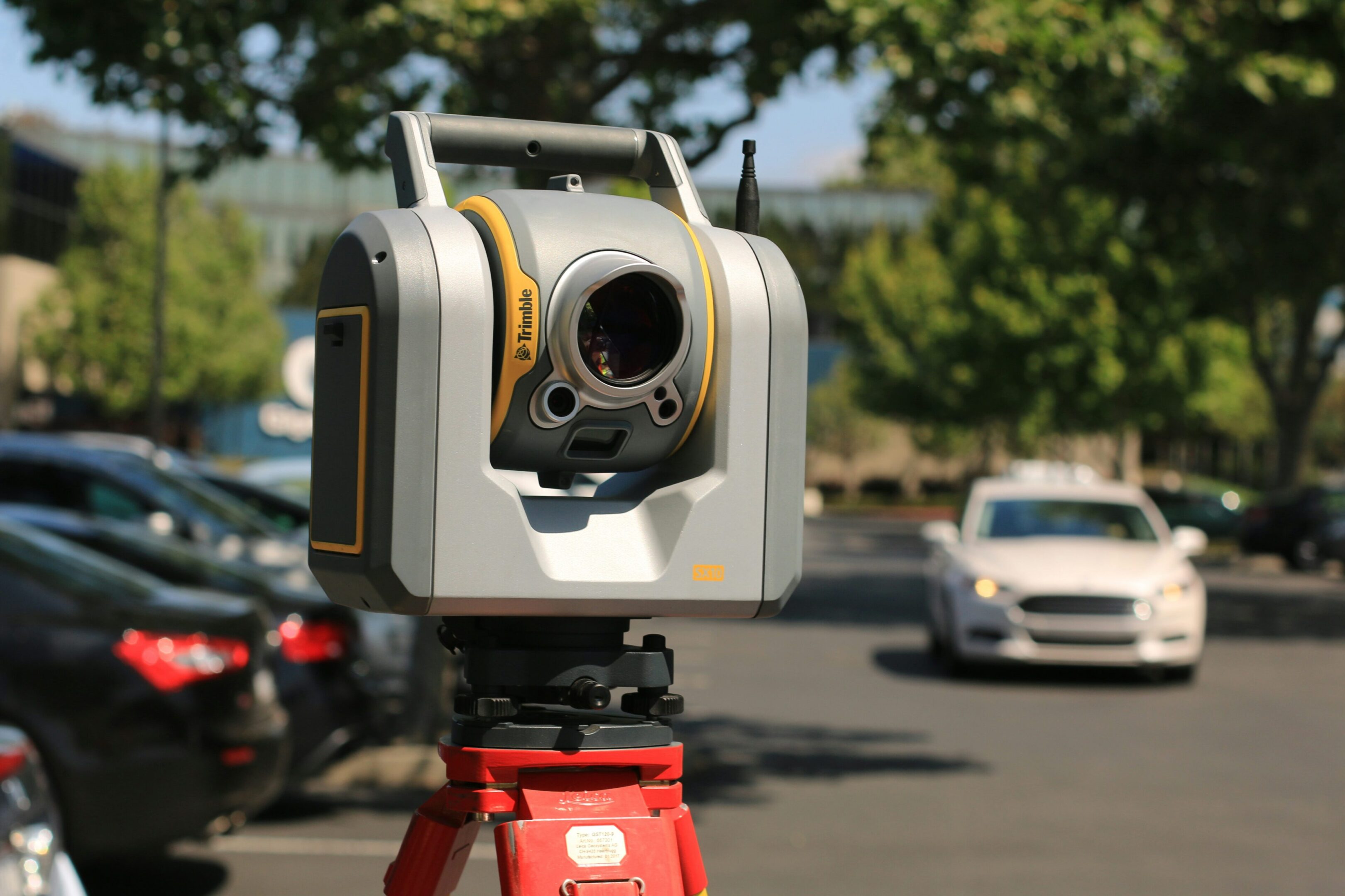
Understanding Land Surveys
At Rio Delta Surveying, we pride ourselves on offering a comprehensive range of surveying services tailored to meet the unique needs of individuals, businesses, and government agencies. Whether you need boundary surveys, construction staking, or topographic surveys, we are committed to providing accurate and timely solutions to help you succeed.
What is a Land Survey?
A land survey, conducted by a registered professional land surveyor, is essential for accurately describing, monumenting, and mapping the boundaries and improvements of a parcel of land. It ensures that the land's physical boundaries match the legal description provided in your deed, providing clarity and precision.
Why Do I Need A Land Survey?
Obtaining a land survey is crucial for protecting your investment when purchasing land. Most lending institutions require a current survey to reveal potential boundary line issues, easements, or encroachments. Additionally, a land survey is necessary when building near property lines, resolving boundary disputes, or dividing land for sale or inheritance. This service ensures you have accurate, up-to-date information about your property, safeguarding your interests and facilitating smooth transactions.


How Much Will A Land Survey Cost?
The cost of a land survey varies based on several factors, including the type of survey required, the terrain, and the availability of existing records and monuments. Typically, a land surveyor can provide an estimate after evaluating these factors. Surveying fees not only cover the surveyor's time and expertise but also account for business overhead costs such as taxes, office rent, and other essential expenses.
What Will the Surveyor Provide to Me?
Upon hiring a surveyor, you will receive a written agreement or contract detailing the scope of the survey, the type of survey to be conducted, the delivery timeline, the agreed fee, and payment terms. The surveyor will provide a signed, sealed, and certified map of the surveyed property, highlighting found and set corners, improvements, and any encroachments. For boundary surveys, the surveyor will place permanent monuments at property corners. Additionally, a survey description suitable for use in deeds will be provided, along with professional consultation to answer any questions about the survey.
What Information Does the Surveyor Need from Me?
To conduct an accurate and thorough land survey, the surveyor will need the following information from you:
- Legal Description of the Property : This includes the metes and bounds description, lot and block information, subdivision name, or deed recording details.
- Purpose of the Survey : Clearly state the reason for the survey, so the surveyor can determine the appropriate type of survey required.
- Title Commitment or Report : Provide a copy of the title commitment or report for reference.
- Plats or Plans : Supply any plats or plans that show the property boundaries.
- Information on Boundary Disputes : Share any available information regarding disputes over corners or boundaries.
- Details on Property Lines or Corners : Provide all information you have about the location of your property lines or corners.

Contact Us Now
For more information about our services or to discuss your specific surveying needs, please reach out to us. Rio Delta Surveying is committed to delivering professional, timely, and cost-effective surveying solutions.
