
Our Comprehensive Services
Rio Delta Surveying is led by Mr. Gonzalez, a registered professional land surveyor since June 2002, certified by the Texas Board of Professional Land Surveying. With over 15 years of experience in the Civil Engineering and Land Surveying field, Mr. Gonzalez has held various roles, including CADD Technician, Surveyor in Training, and Director of Surveying. His extensive background ensures that our firm provides precise and reliable surveying services, tailored to meet the specific needs of each project.


What to Expect
- Boundary Survey
- Define property lines accurately to prevent disputes and ensure clear ownership.
- Determine property boundaries for legal and construction purposes with precision.
- Improvement Survey
- Evaluate property enhancements and verify compliance with regulations.
- Assess property improvements for insurance, tax assessment, and legal documentation.
- ALTA/ACSM Land Title Surveys
- Conduct comprehensive surveys meeting ALTA/ACSM standards for commercial properties.
- Provide detailed information on property boundaries, easements, and encroachments.
- Pre-Construction Slab Elevation Certificates
- Certify proper elevation levels for construction projects to meet regulatory requirements.
- Ensure accurate elevation data for foundation design and floodplain management.
- Site Plans
- Create detailed plans showcasing property features, layout, and development potential.
- Aid in site analysis, zoning compliance, and project planning for construction.
- Topographic Surveys
- Capture land contours, elevations, and natural features for engineering and design.
- Provide essential data for drainage planning, earthwork calculations, and site development.
- Pre-Engineering Surveys
- Evaluate land suitability and conditions before initiating engineering projects.
- Identify potential challenges and opportunities for site development and infrastructure.
- Subdivision Platting
- Divide land parcels according to zoning regulations and create legal property descriptions.
- Assist in property development, land sales, and municipal planning processes.
- Flood/Elevation Certificates
- Determine flood risk and certify elevation levels for insurance and regulatory purposes.
- Provide essential data for floodplain management, building design, and insurance rates.
- Construction Staking
- Mark precise locations for construction elements to ensure accurate placement.
- Facilitate proper alignment of buildings, utilities, roads, and other structures.
- GPS Surveys
- Utilize GPS technology for accurate and efficient land measurements and mapping.
- Enhance surveying productivity and data accuracy for various project needs.
- Ranch Surveys
- Assess and map rural properties, including boundaries, easements, and land features.
- Provide landowners with detailed information for land management and development.
- Right of Way & Easement Surveys
- Identify and document access rights, easements, and encroachments on properties.
- Assist property owners, developers, and municipalities in legal and planning matters.
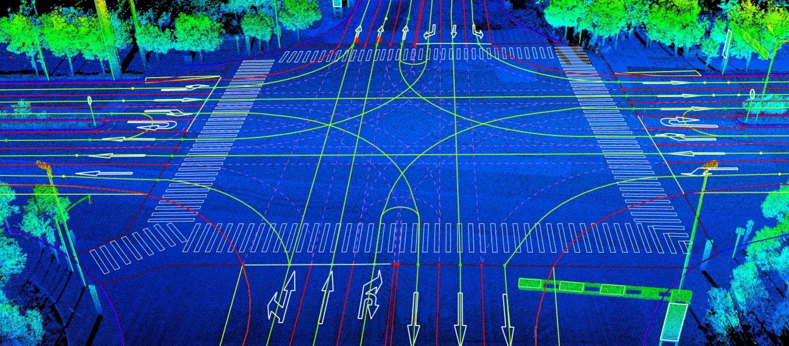
Cutting-Edge Technology
At Rio Delta Surveying, we leverage the latest field-to-finish industry-standard technology to ensure that your project goals are met with precision and efficiency. With these advanced tools and systems, we deliver accurate results and streamlined processes, enhancing the quality and effectiveness of our surveying services. Our arsenal of field and office automation hardware, software, and equipment include the following:
- Trimble
- Autodesk
- GeoCue
- Carlson Survery
- DJI Drones

Connect With Us
Rio Delta Surveying is committed to delivering professional, timely, and cost-effective surveying solutions. Contact us today to learn how we can assist you with your next project.